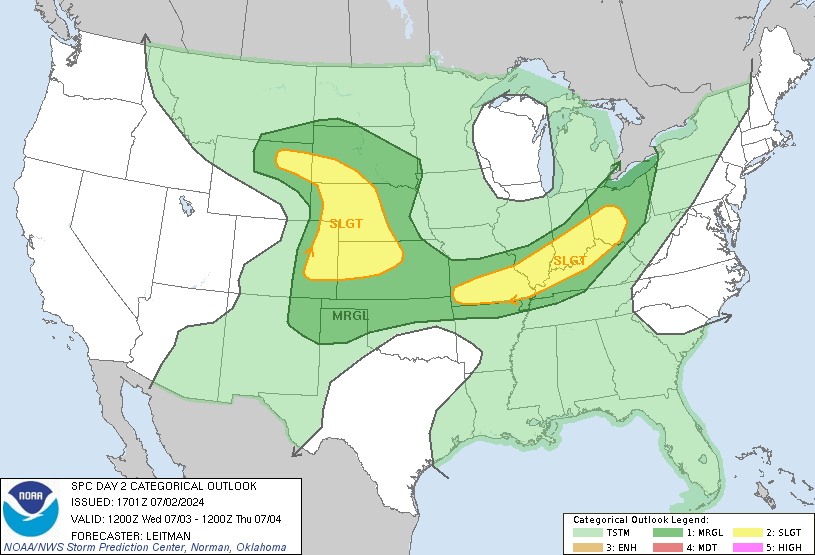
As seen above, a series of strong thunderstorms are currently forming near the Great Lakes region. This series of storms, a Mesoscale Convective System (MCS) will have severe weather and could potentially spawn the feared derecho. However, compared to last year, the CAPE (atmospheric potential energy) is significantly lower, so any derecho that forms in the Midwest is unlikely to impact the area and make it past the mountains. To answer the question posed in the title, derech-no would be a more accurate headline. However, some potentially severe thunderstorms could impact the region late overnight, delivering strong winds and rains in the 1-4 am time range.
Now, moving on to tomorrow evening's severe weather potential, which also has a chance to give us some significant storms.
Yesterday, it seemed as if the Thursday evening storms could be a historical event, as there was a possibility for a strong (and strengthening) system to traverse over Southern Pennsylvania right after sunset. The timing and strength of this system combined with a particularly volatile air mass could have brought about some of the strongest storms that this area sees. However, recent guidance suggests that the threat for such a strong event has decreased, as the storm now seems likely to arrive in the afternoon, before the sun has completely energized the atmosphere, with a weaker low pressure as well. Nonetheless, the potential for strong and severe thunderstorms remains, but it is unlikely that they will impart significant damage on the scale of the derecho.